Fatih, Istanbul

Gokce Nacar

Fatih, Istanbul
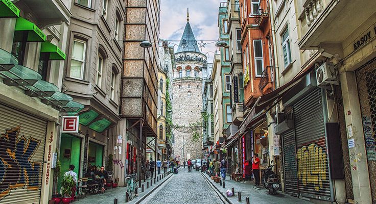
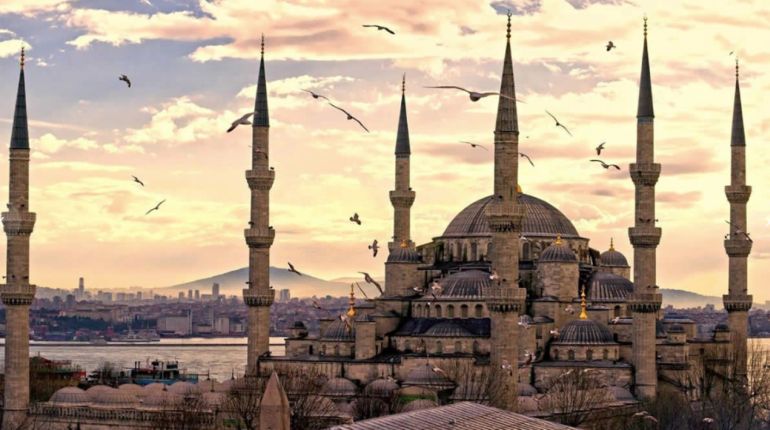
Fatih turned into a single district with the merging of Eminönü and Fatih districts in Suriçi. Eminönü, which is a district of the Fatih district today, became a district in 1928 with the division of the Central district of Istanbul into two. Fatih, on the other hand, was a branch located in the central district of Istanbul. With an arrangement made on March 8, 1984, Istanbul was transformed into a Metropolitan Municipality, while Fatih became a district municipality affiliated to the Metropolitan Municipality. However, with Law No. 5757, which entered into force on March 29, 2009, the two districts of the Historic Peninsula were transformed into a single district under the name of "Fatih". Fatih district consists of 57 neighborhoods. Fatih, whose area is 15.6 km2, has a population of 443,955 according to the census results made with the 2008 Address Based Population Registration System. The population per square kilometer is 28,458 people. Covering the entire Historic Peninsula, Fatih takes its name from the Ottoman ruler Fatih Sultan Mehmet, who conquered Istanbul in 1453. After the conquest of Istanbul, Sultan II. Fatih, which started to develop around the Fatih Mosque, which was built on the fourth hill of Istanbul by the order of Mehmed Han, quickly became a classical Ottoman-Turkish city. Fatih, which is a center where the best examples of Ottoman-Turkish lifestyle and architecture can be seen with its wooden houses, mosques and madrasahs, schools and fountains that have survived to the present day, besides this mystical atmosphere, it also contains distinguished works of very important civilizations such as Rome and Byzantium. Fatih is also known as "First Istanbul" or "Original Istanbul" due to its features.
Historical Monuments
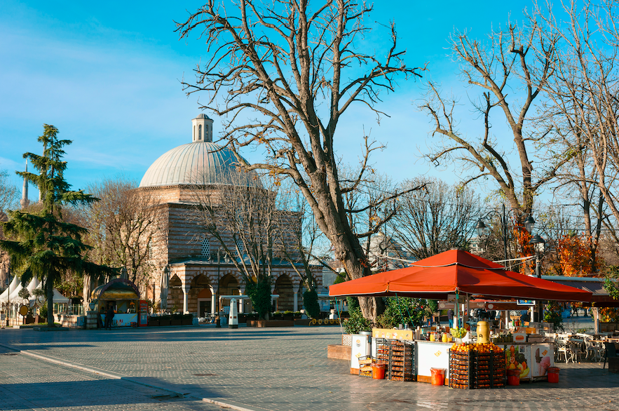
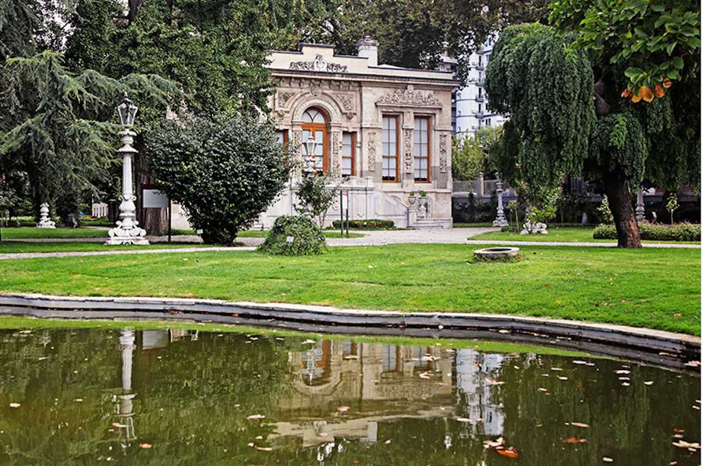
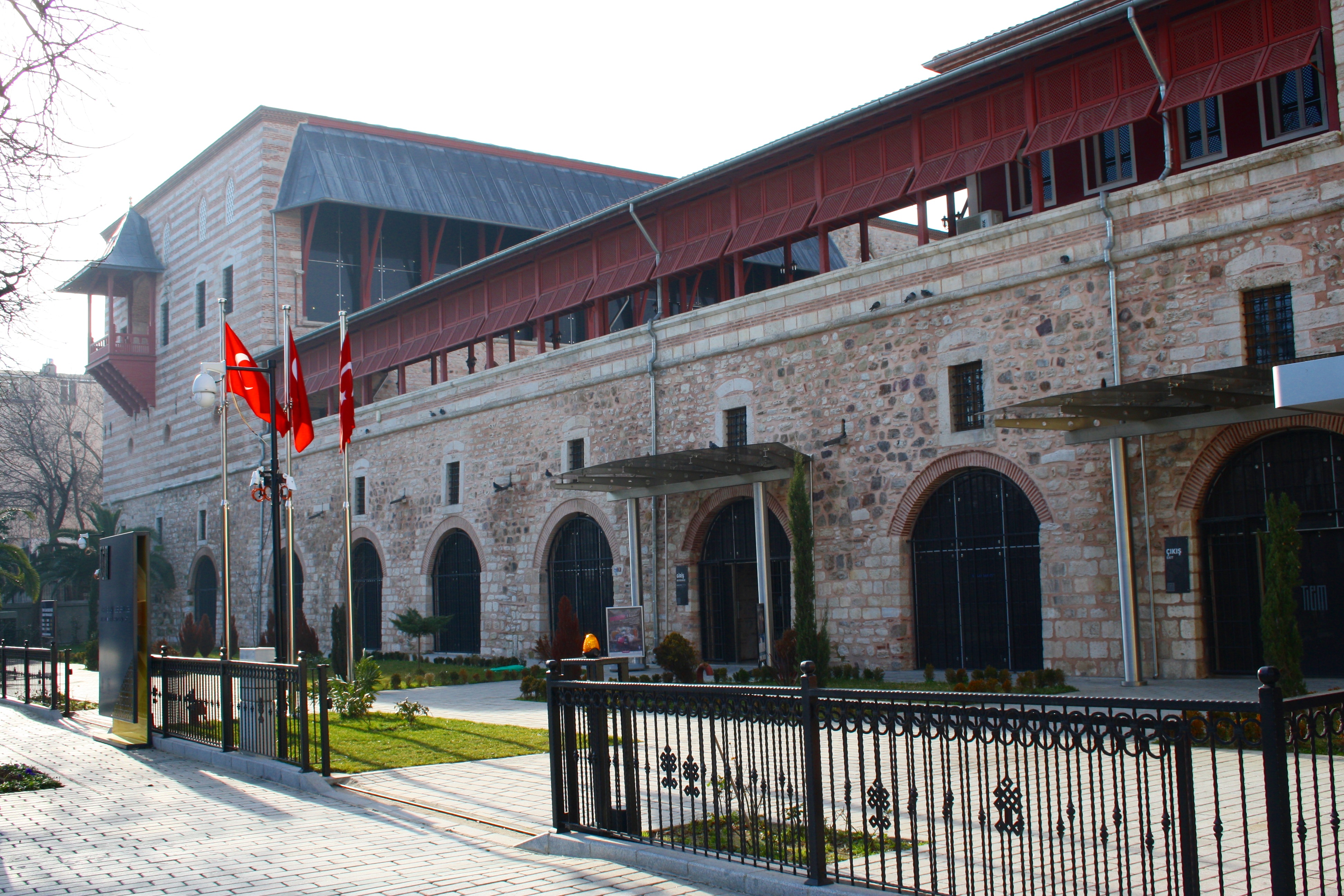
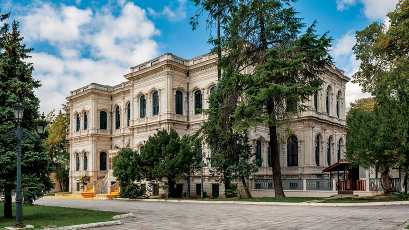
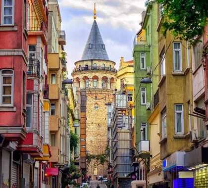
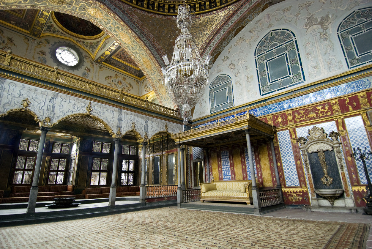
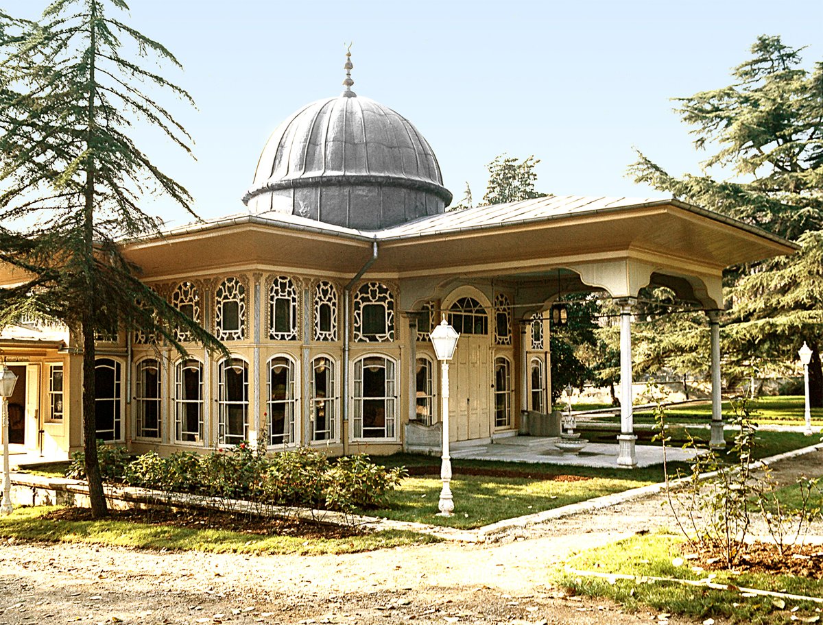
Fatih district, which has the oldest residential areas of the city, is very rich in terms of historical structures. It has not lost any of its charms in the Byzantine, Ottoman and Republican periods and contains very important historical and touristic artifacts within its borders.
Geographical Location and Features
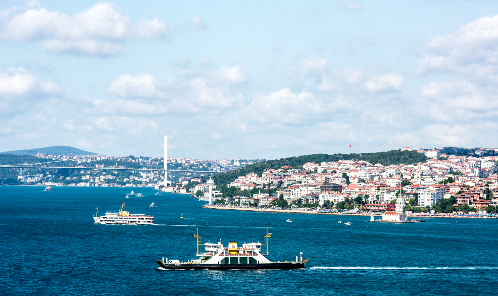
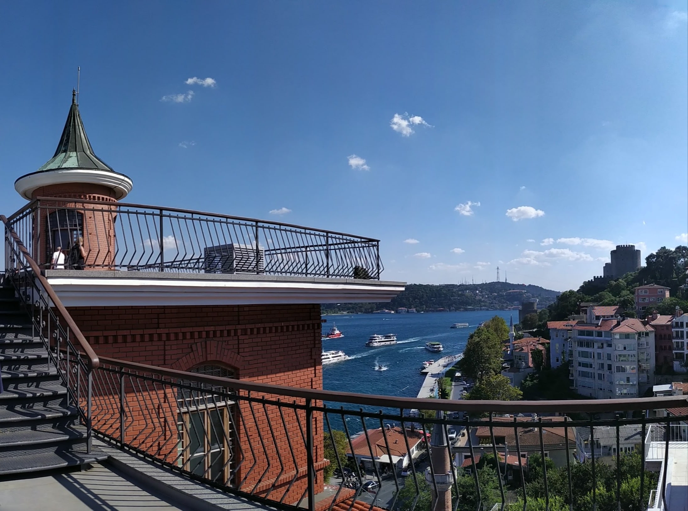
The Historic Peninsula is the most important urban space where the existence of the said cultural accumulation, which plays an important role in making Istanbul stand out on a global scale and plays an active role in the formation of the city's identity, is intensely coexisting. The Historic Peninsula covers a total area of 1562 hectares. Conqueror; it is located between 41°02' north latitude and 28°55'34 east longitude. Fatih is adjacent to Eyüp district in the north, Golden Horn in the northeast, The Marmara Sea in the south, Zeytinburnu in the west and Bayrampaşa in the northwest. The borders of Fatih are defined by the historical city walls the Golden Horn and the Marmara Sea. A part of the walls stretching from the Golden Horn Ayvansaray to Yedikule has been repaired and separates Fatih from Eyüp and Zeytinburnu districts. The sea walls on the Golden Horn and Marmara coasts have not survived to the present day as they have been largely destroyed. The 3 main streets that supply transportation to Istanbul pass through the district of Fatih. These are Macar Brothers and Fevzi Paşa Streets, which extend from Saraçhane to Edirnekapı, Vatan Street, which connects Aksaray to Topkapı, and Millet Street, which connects Aksaray to Topkapı.
What are you looking for about Fatih is in I Am Istanbul!
You need information about Fatih before you go to the city, do not you? Thanks to this website, you can learn all information about it. Besides learning something, you can also do online shopping with a link that easily reachable.
-
 0 Likes
-


More posts by Gokce Nacar